LinkedIn
DRAFTING
Cronus Technology, Inc. (CTI) offers a full range of drafting services to our clients. Our experienced CAD operators utilize the most up-to-date Autodesk AutoCAD® software to support engineering design, permit applications, procurement packages, and different types of offshore and onshore construction and fabrication activities. To ensure the accuracy of design and consistent quality, all drawings submitted to our clients are subjected to a three-part QA/QC review in which the project lead, project engineer, and drafting department independently conduct detailed drawing reviews.

Our drafting department has over 25 years of construction drawing experience and the capability to support the following project activities:
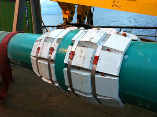
- Conceptual, Front-end engineering and design (FEED), and Detailed Engineering (DE) Design Drawings – These drawings may include pipeline alignment and profiles, field layouts, riser assemblies, subsea tie-in assemblies, P&ID schematics, crossing details, and details of various subsea equipment.
- Permitting Submittals – Generally, right-of-way and abandonment permitting require drawing support, such as the inclusion of safety flow schematics, riser and tie-in drawings, and crossing details.
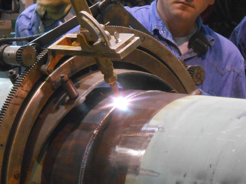
- Fabrication Drawings – CTI can produce fabrication drawings for custom-designed equipment, including PIG launcher/receivers, pipeline end manifolds and/or skids, riser clamps, gusset plates, padeyes, reaction collars, miscellaneous topsides, subsea equipment, and more.
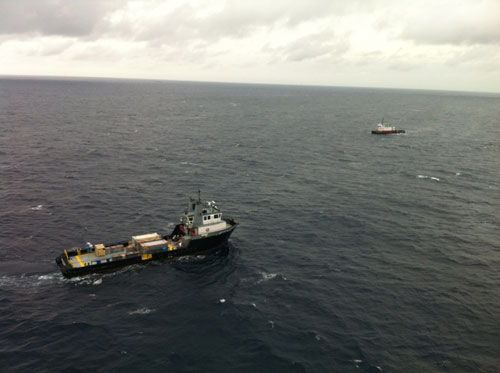
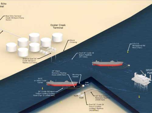
- Area Maps – Based on client-provided survey information, we can produce conceptual or area maps in 2-D and/or 3-D to show preliminary area layouts. These area maps can be converted to field layouts in subsequent phases of the project.
- Miscellaneous Construction Drawings – These drawings include rig drawings for custom equipment, vessel, and topside deck layouts for various equipment spreads, survey route maps for survey operations, isometric drawings of subsea equipment, and more.

In addition to AutoCAD®, the CTI drafting department is proficient in the use of other software technology for various applications, including:
- Blue Marble Geographics Global Mapper, for 3-D mapping and creating contour maps in 2-D and 3-D
- CORPSCON, for converting latitude/longitude data to different coordinate systems